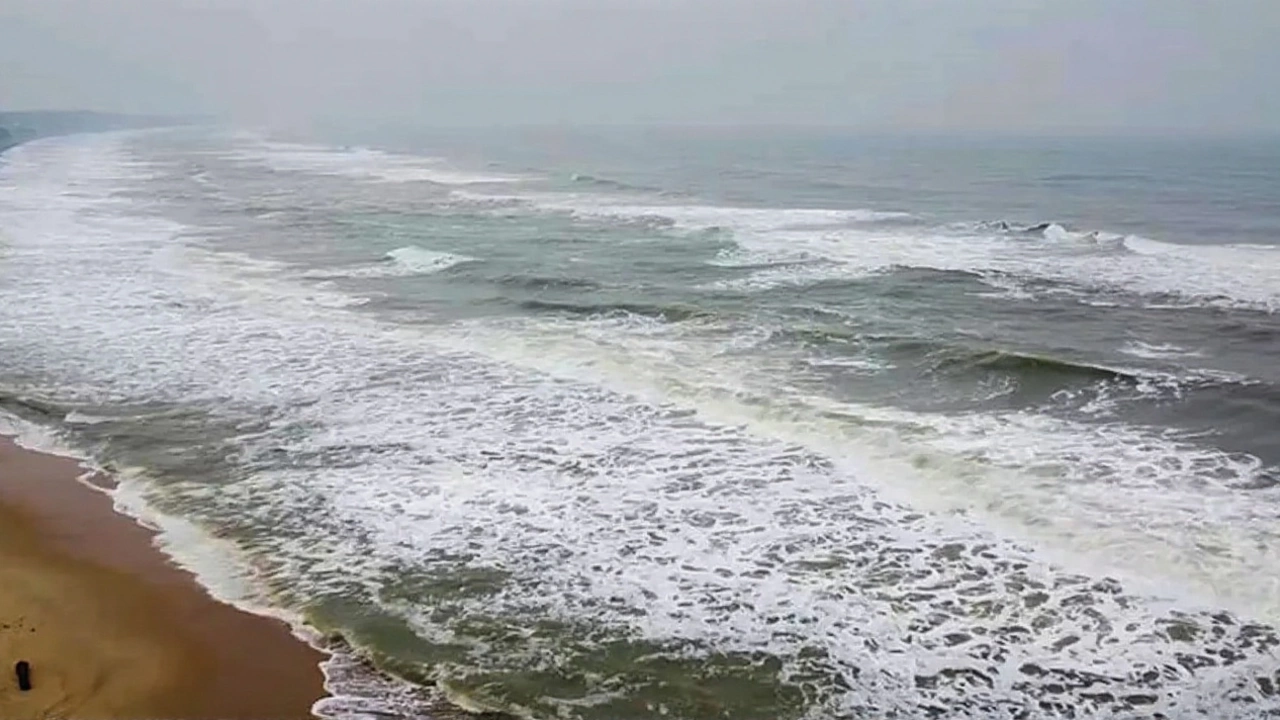
When the Indian Meteorological Department (IMD) issued a yellow alert for Jharkhand on Monday, October 27, 2025, few expected the storm’s tendrils to stretch so far inland. But Cyclone Motha—a rare, powerful system born in the Bay of Bengal—isn’t just a coastal threat. By Tuesday, October 28, its outer bands were already dumping rain across Ranchi, Jamshedpur, and Daltonganj, turning skies gray and streets slick. The cyclone, named by Thailand, is forecast to make landfall near Kakinada in Andhra Pradesh on Tuesday evening, with winds hitting 90–100 km/h and gusts up to 110 km/h. Yet its real surprise? The ripple effect. Even 800 kilometers inland, Jharkhand is bracing for four straight days of heavy rain, gusty winds, and potential landslides.
How a Bay of Bengal Storm Reached the Plateau
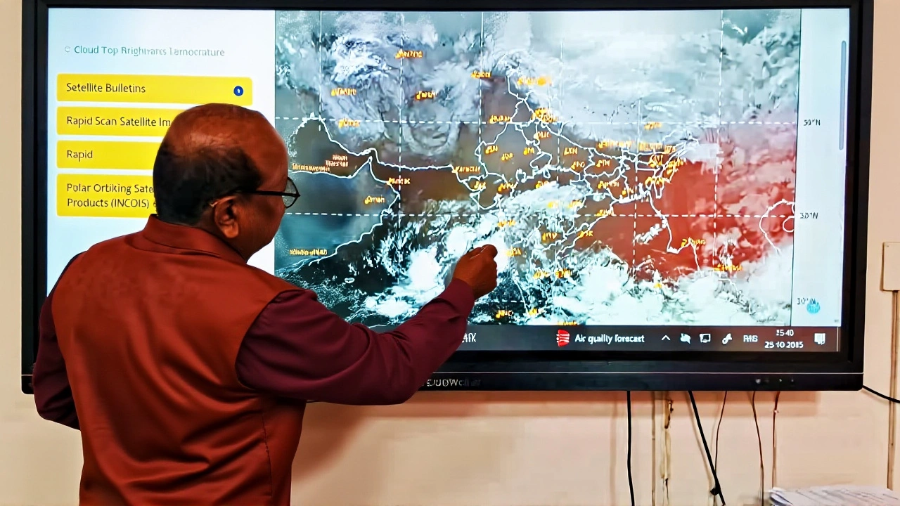
Cyclone Motha didn’t just drift north. It fed off unusually warm sea surface temperatures—29.5°C in the central Bay—and slow movement over the past 72 hours, letting it intensify from a depression to a severe cyclonic storm. By Tuesday morning, it was centered about 450 km from Kakinada, 420 km from Chennai, and 500 km from Visakhapatnam. But unlike typical cyclones that weaken rapidly after landfall, Motha’s moisture-laden core is being pulled northwest by a persistent upper-level trough. That’s why even places like Ranchi, where highs hit just 29°C on Monday, felt the chill of incoming monsoon winds—something locals hadn’t seen this late in October.The IMD’s forecast isn’t random. It’s a map of atmospheric rivers. Tuesday: southern and southwestern Jharkhand. Wednesday: southern and northeast districts. Thursday: central and northwest. Friday: northeast again. Each zone gets 30–40 km/h wind gusts, and isolated areas could see 7–20 cm of rain in 24 hours. That’s enough to overwhelm drainage in mining towns like Bokaro and Daltonganj, where soil saturation is already high from earlier rains.
Who’s Affected—and How
The Eastern Railway suspended over 18 trains heading into Jharkhand and Odisha, citing track flooding risks. In Visakhapatnam, flights were canceled for 48 hours. In Darjeeling and Kalimpong, hillside villages were evacuated as landslides blocked roads. Meanwhile, West Bengal’s northern districts—Jalpaiguri, Alipurduar, and Cooch Behar—are on red alert for flash floods. Even Uttar Pradesh’s eastern belt saw intermittent rain, unusual for late October.For farmers in Jharkhand’s southern belt, this is a nightmare. Rice harvests are just beginning. “We’ve spent months preparing the fields,” said Shyam Sundar Singh, a smallholder in Hazaribagh. “If the rain doesn’t stop by Friday, half our crop could rot in the fields.”

Why This Storm Is Unusual
Cyclones rarely impact Jharkhand this severely. The last time the state saw widespread rainfall from a cyclone’s remnant was in 2018, after Cyclone Titli. But Motha is different. It’s forming farther north than usual, and the jet stream is acting like a conveyor belt, dragging moisture deep into the interior. “This isn’t just a rain event,” said Dr. Anjali Sharma, a climatologist at the Indian Institute of Tropical Meteorology. “It’s a convergence of oceanic warmth, stalled weather patterns, and a weakened monsoon retreat—something we’re seeing more often now.”Temperatures across the region have dropped 5–7°C since Sunday. In Jamshedpur, the high of 33°C on Monday felt like 26°C with the wind. That chill, paired with the rain, is triggering respiratory complaints in elderly populations. Hospitals in Ranchi reported a 30% spike in asthma and bronchitis cases by Tuesday afternoon.
What Comes Next
By October 30, Motha’s core will weaken as it moves into Odisha and Chhattisgarh. But its moisture will linger. The IMD warns that rain and gusty winds could persist through November 1 in parts of Jharkhand and West Bengal. Emergency teams have been deployed to 12 high-risk districts. The state government has opened 47 relief centers. Still, the real danger may come after the rain stops: landslides triggered by saturated soil, and waterborne diseases from flooded wells.For now, fishermen along the Odisha coast are told to stay ashore. Train travelers are advised to check schedules daily. And in Jharkhand, school closures are being considered in 15 districts. “We’ve seen cyclones hit the coast,” said Prakash Kumar, a district disaster manager in Saraikela-Kharsawan. “But this? This feels like the storm came looking for us.”
Frequently Asked Questions
How is Cyclone Motha affecting Jharkhand when it’s not a coastal state?
Even though Jharkhand is inland, Cyclone Motha’s massive moisture cloud is being drawn northwest by upper-level winds, causing prolonged rainfall across the state from October 28 to 31. Areas like Ranchi, Bokaro, and Daltonganj are seeing 30–40 km/h wind gusts and up to 20 cm of rain in some zones, triggering landslides and flooding in mining regions.
Why are trains and flights being canceled?
The Eastern Railway canceled 18+ trains due to flood risks on tracks near the Odisha-Jharkhand border. Flights in Visakhapatnam were grounded because of low visibility and high winds. These are precautionary measures to prevent accidents and stranding during peak rainfall hours.
Is this level of rainfall normal for late October?
No. Late October is typically dry in Jharkhand and eastern India. The last comparable event was Cyclone Titli in 2018. Climate experts note that warming Bay of Bengal temperatures and shifting jet streams are making such inland impacts more frequent—this is likely a sign of changing regional weather patterns.
What should residents in Jharkhand do right now?
Stay indoors during heavy downpours, avoid low-lying areas prone to flooding, and keep emergency supplies like water, flashlights, and medicines ready. Check local alerts from the Indian Meteorological Department and avoid travel unless essential. Elderly and those with respiratory issues should limit outdoor exposure due to the drop in temperature and humidity.
How long will the storm’s effects last?
The most intense rainfall ends by November 1, but lingering moisture could cause isolated showers through November 3. Wind speeds will drop below 30 km/h after October 30. However, secondary risks like landslides and water contamination may persist for up to a week, especially in hilly districts like Saraikela-Kharsawan and West Singhbhum.
Why was this cyclone named Motha?
Cyclone names in the North Indian Ocean are chosen by eight member countries of the WMO’s ESCAP/ESCAP Panel on Tropical Cyclones. "Motha" was submitted by Thailand and means "mother" in Thai, symbolizing nurturing yet powerful forces. It’s the 12th name on the 2025 list and the third cyclone to hit India this year.
Leave a comments